Google Earth Features Amazon Pictures
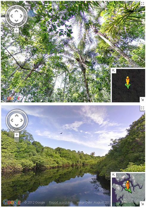
Today Google is making images of the Amazon Basin -
rivers, forest and communities in the Rio Negro Reserve -
available through the Street View feature on Google
Maps.
Though Street View, you can enjoy virtual boat rides down
the main section of the Rio Negro, float up into the
smaller tributaries where the forest is flooded, stroll
along the paths of Tumbira, the largest community in the
Reserve, or visit some of the other communities who
invited Google's team to share their lives and cultures.
In all, more than 50,000 still photos were stitched together to create 360-degree panoramic views:

In all, more than 50,000 still photos were stitched together to create 360-degree panoramic views:


